An Environmental Intelligence Company
Independent, commercial, and built to close the gap between environmental data and the decisions that depend on it.
Work with usMost organisations facing water risk are working from data that is old, borrowed or incomplete.
xWIT was built to fix that. We measure directly, model honestly, and state uncertainty where it exists. That is what makes the work usable in an audit, a negotiation or a regulatory filing.
Mission and Vision
Why xWIT exists, and where it is going.
Measure, don’t estimate
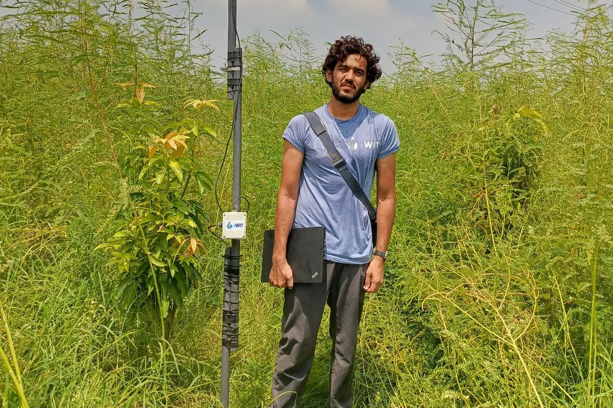
xWIT is an independent environmental intelligence company. We install the instruments that measure water, climate and soil, and turn the readings into advice that enterprises, government bodies and funders can act on. We measure rather than estimate, and hand over the data in full.
Monitoring as a routine operating cost
Water is becoming the binding constraint on production, and the historical record no longer predicts the coming season. Regulators, lenders and buyers now want measurement, not estimates. By 2030 we expect continuous monitoring to be a routine operating cost, and xWIT to be the operator organisations rely on.
What we value
Six commitments that shape every engagement.
Measurement is calibrated, documented and traceable.
Precision
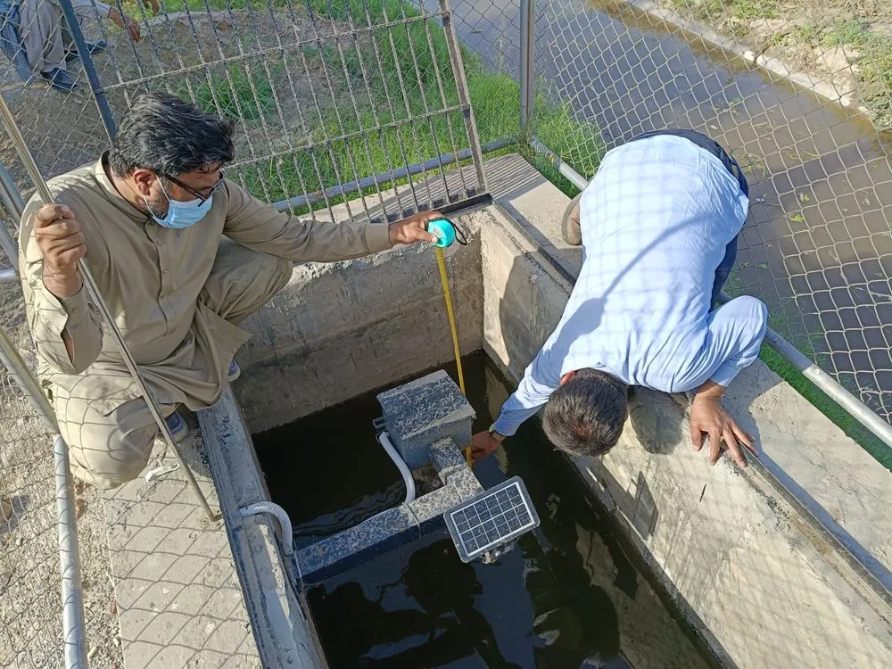
In practiceCG-100 Miqyas reads canal level to 1 mm, ±3 mm, with active temperature compensation.

One named lead owns your engagement start to finish.
Accountability
In practiceFor FAO we supplied the instruments, built the gauge wells, commissioned the network and trained the operators.

Environmental decisions are seasonal. We mobilise inside the window.
Speed
In practiceScoping to first data inside a single season.
Where the data is thin, we say so.
Evidence
In practiceWaterSense states its error: ±3 to 5% VWC as standard, ±2% with soil-specific calibration.
Methods built for the terrain we actually work in.
Regional Grounding
In practiceMizan fits OFWM PCPS watercourse segments No. 3 to 9+, the channels Punjab farmers actually use.
Raw data and calibration logs handed over in full.
Data Integrity
In practiceEvery device stores up to 200 readings on board, so a dropped link does not mean lost data.
We measure rather than estimate, and hand over the data in full.
Technical Expertise
Four domains, one field team.
Water Resources
and Quality
Catchment assessment, groundwater and surface water monitoring, abstraction auditing and laboratory backed quality analysis.
Climate and
Cryosphere
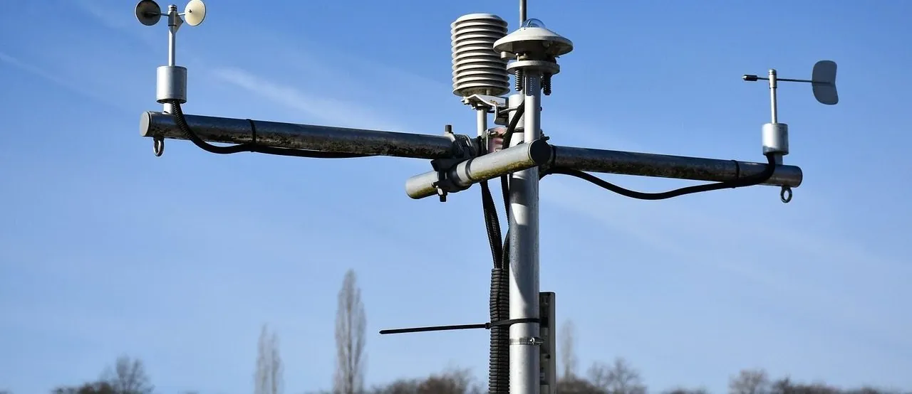
Snowpack and glacier monitoring, seasonal melt and runoff projection, and long horizon climate risk screening for assets.
Agriculture and
Water Productivity
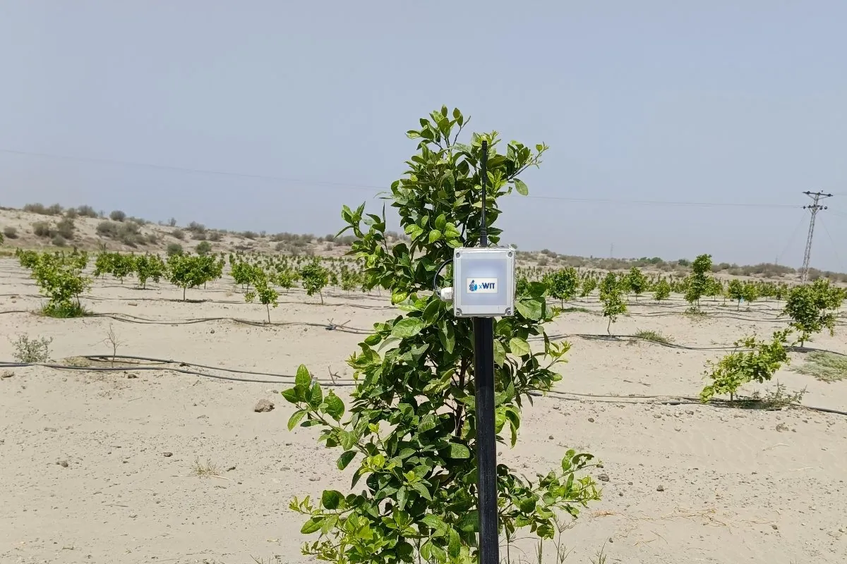
Crop water accounting, irrigation efficiency audits, and satellite based yield and stress monitoring.
Policy and
Advisory
Regulatory strategy, environmental due diligence, feasibility studies and independent technical review.
Bring us the question holding up a decision.
We will tell you what it takes to answer it properly.